No GIS setup
Load your data and start designing immediately.
A modern mapping tool for your editorial and data visualization workflow
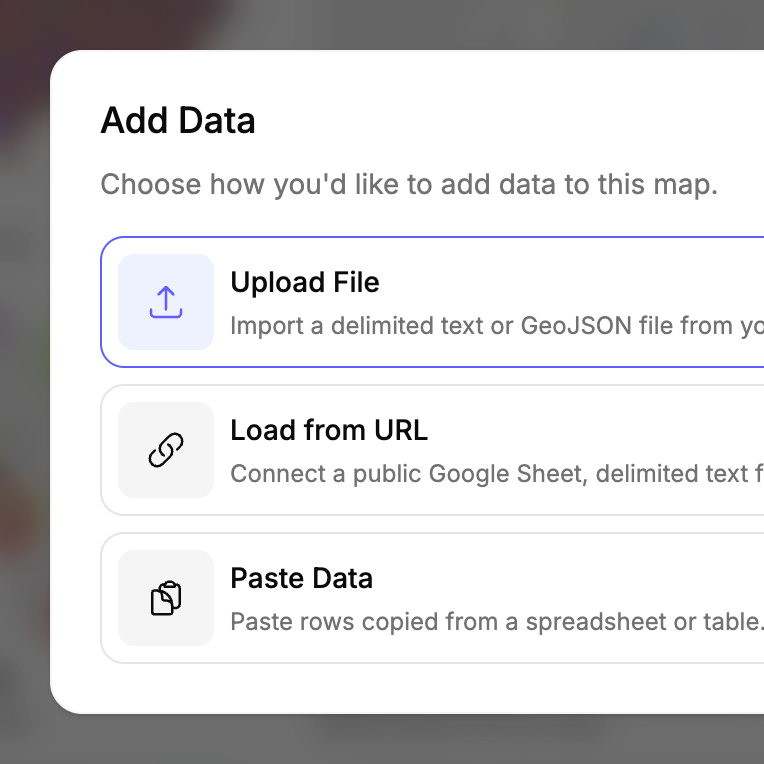
Load your data and start designing immediately.
Automatically create a well-framed map view based on your data.
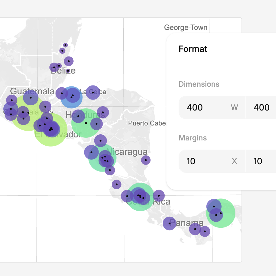
Export clean SVG and PNG files for Illustrator, Figma, and beyond.
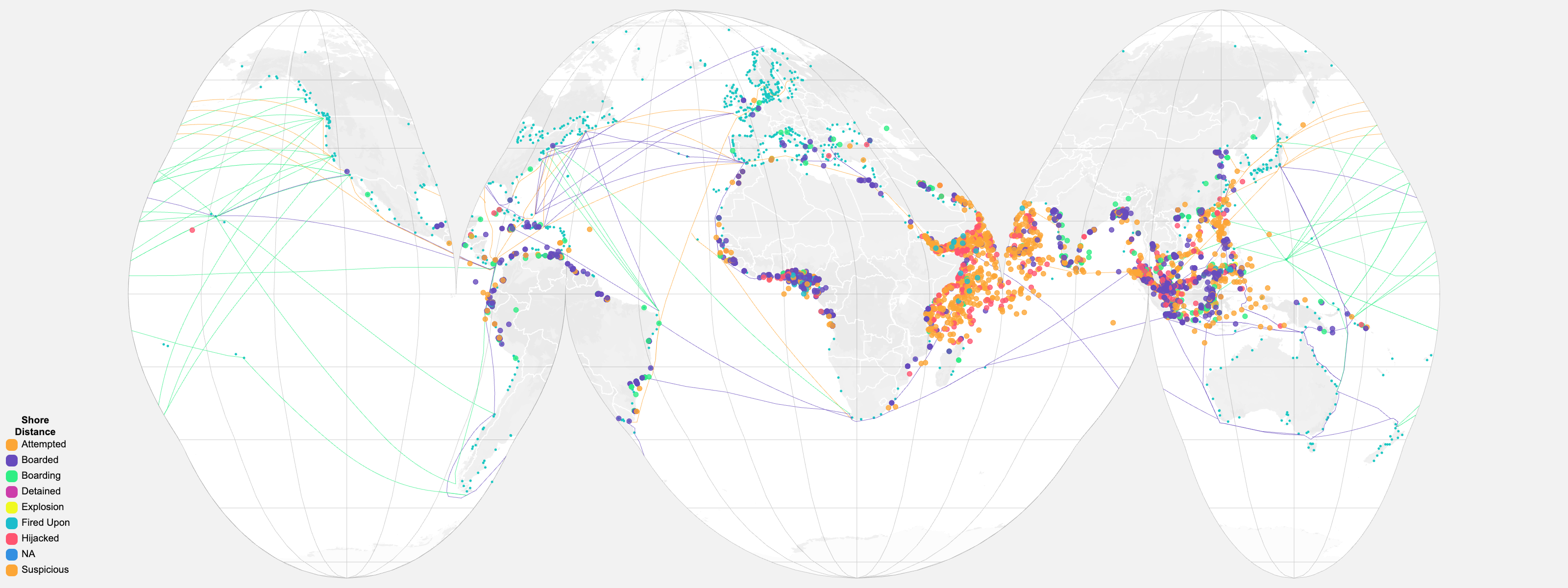
Move past the default world map with 100+ dynamic projections, from familiar standards to unconventional forms that better fit your story.
Automatically scale and position each projection to your data, artboard, and margins for pixel-perfect framing without touching GIS controls.
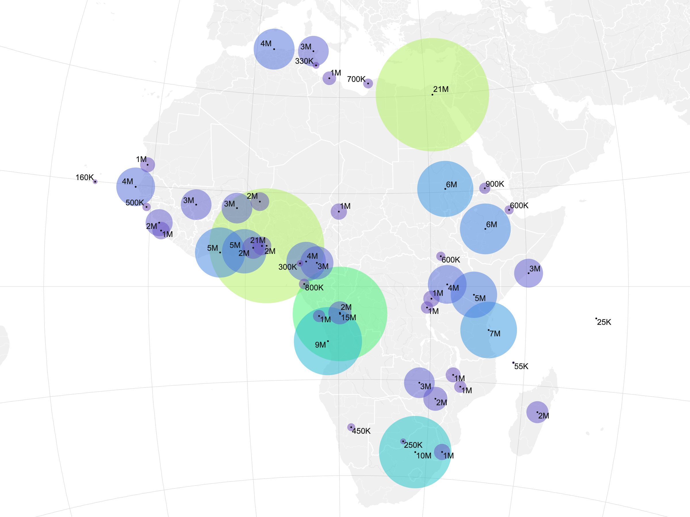
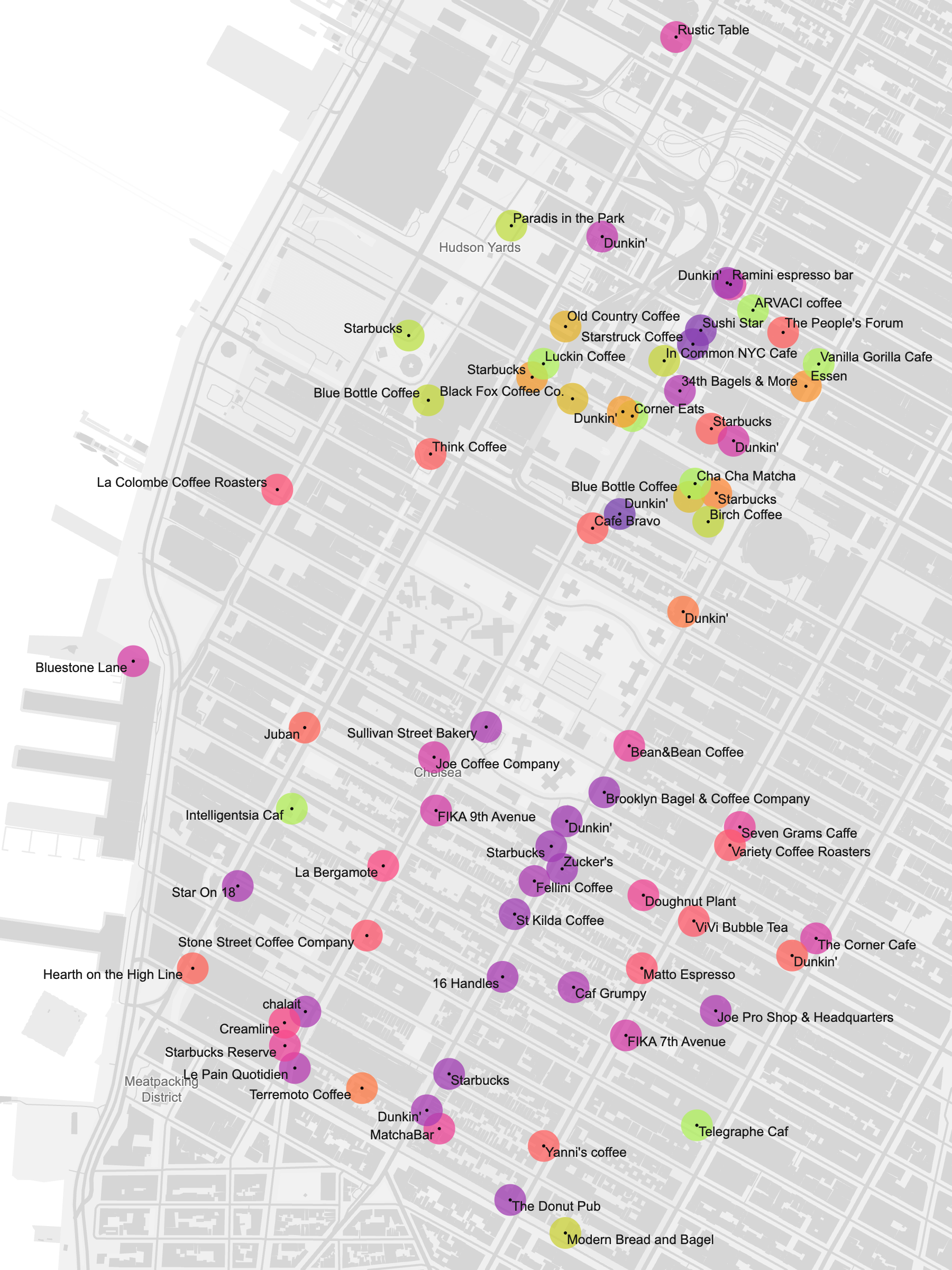
Turn data columns into clear map labels with formatting controls for strings and numbers, plus collision detection that keeps the composition clean.
Balance geographic context and data prominence with adjustable map detail.
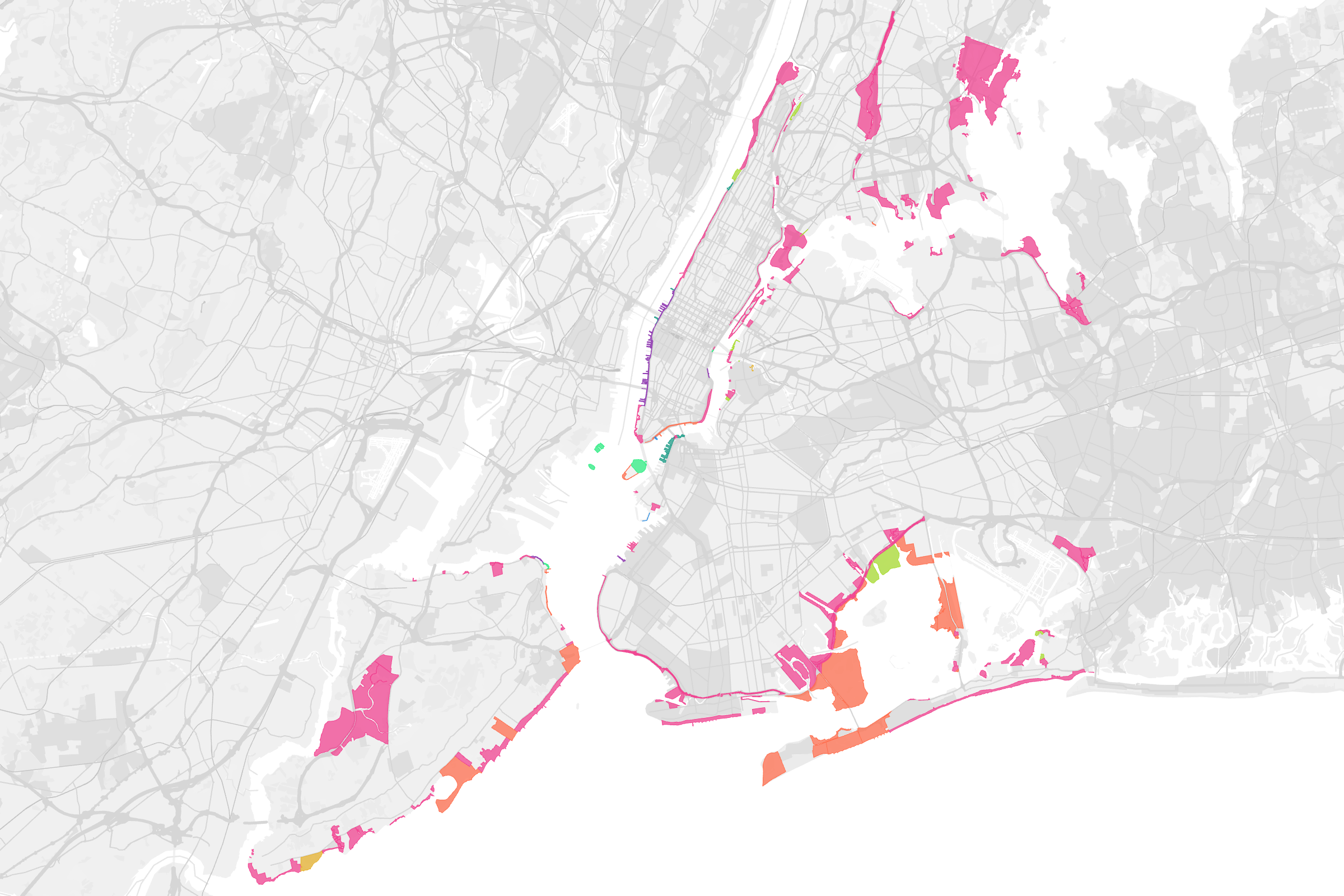
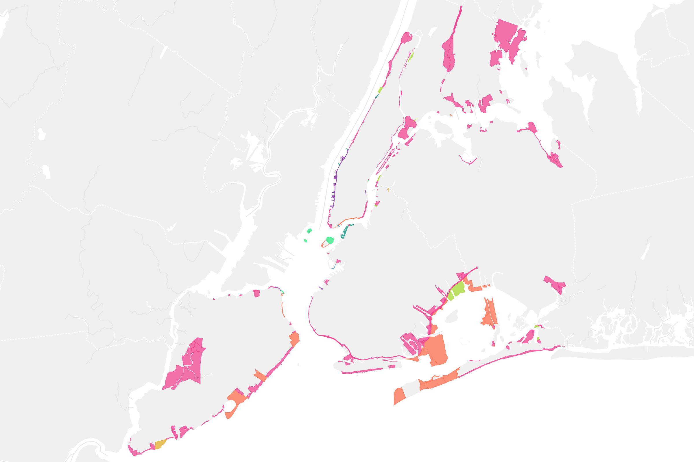
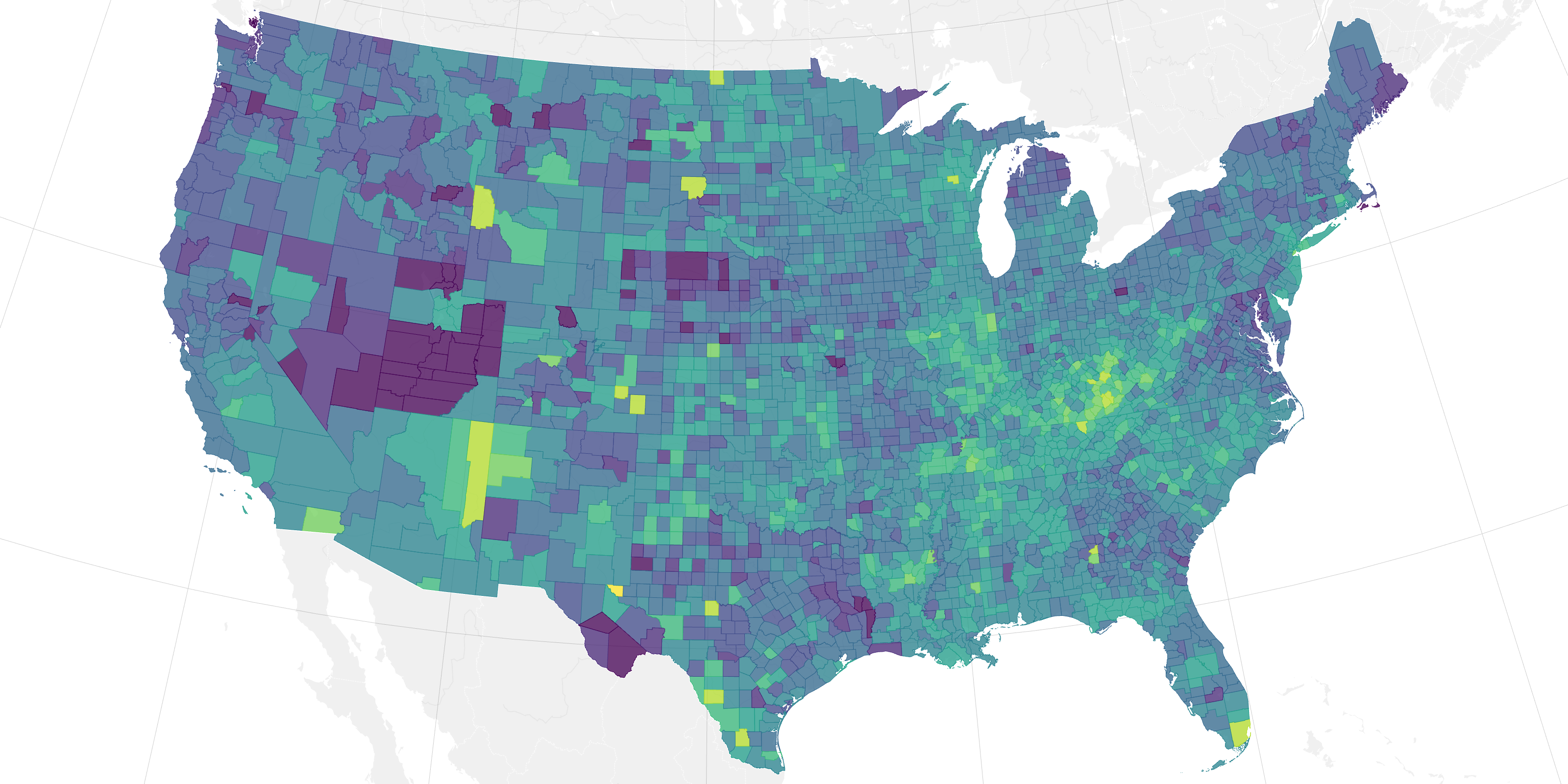
Connect your data to polished palettes, custom color systems, and flexible styling controls that feel publication-ready from the first draft.
Support for point, line, and polygon datasets, whether they start in a spreadsheet or GeoJSON.
Connect a public CSV, GeoJSON, or Google Sheet so your map can update when the source data changes.
Country and U.S. state data without geometries is automatically matched to points or boundary shapes.
Turn start and end coordinates into lines for mapping routes, flows, and connections.
Automatically fit the map to your data for a polished starting view.
Choose light, dark, or natural colors with standard or minimal detail to match the look and focus of your map.
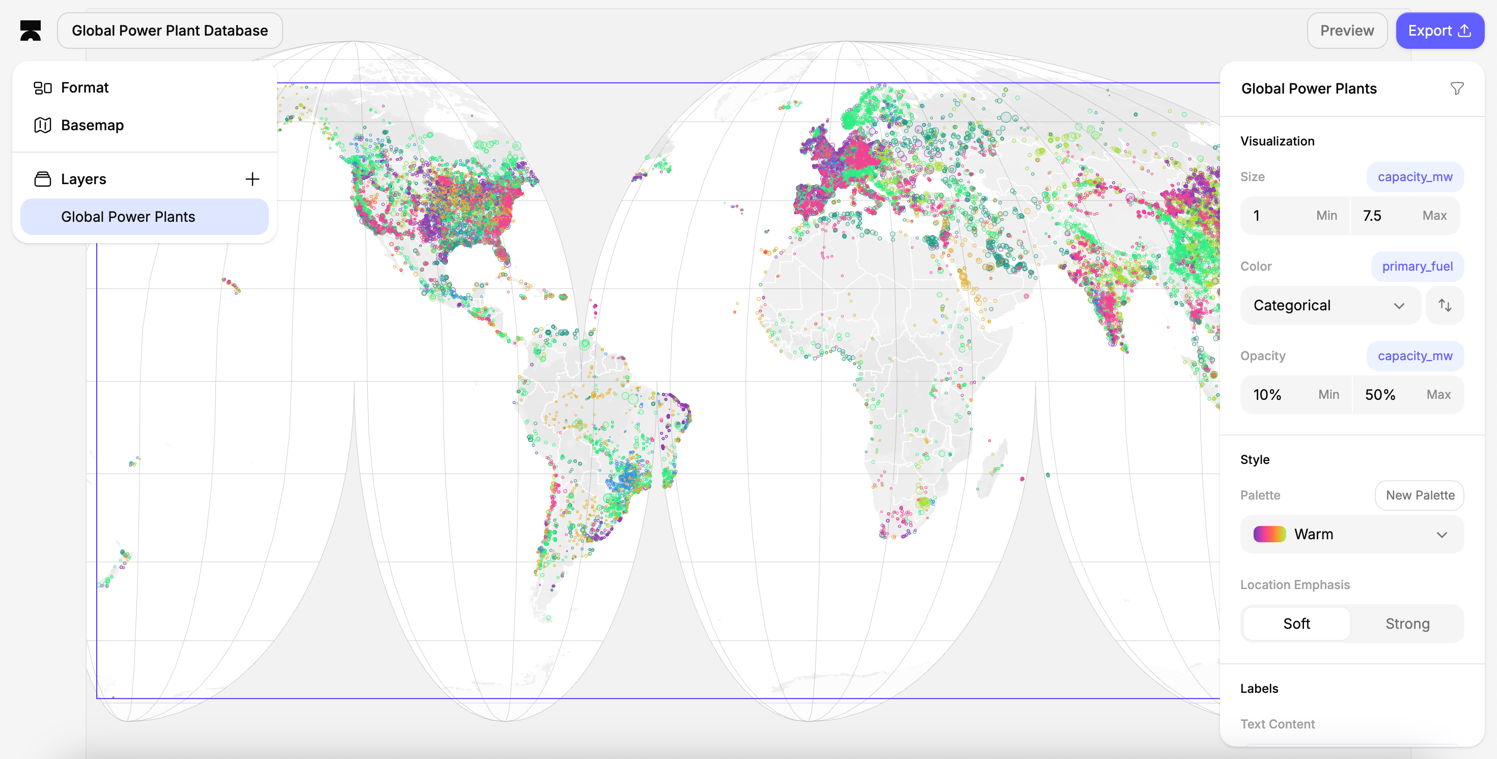
Style data by size, color, and opacity without configuring scales by hand.
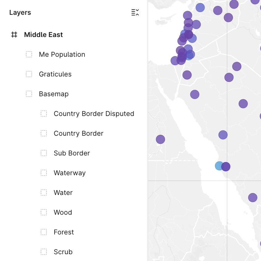
With Pro, build maps with multiple layers, independent styling, and flexible layer ordering.
Send clean files to Illustrator, Figma, slide decks, CMS tools, and print workflows.
Create clean, data-driven maps for editorial, design, and presentation workflows